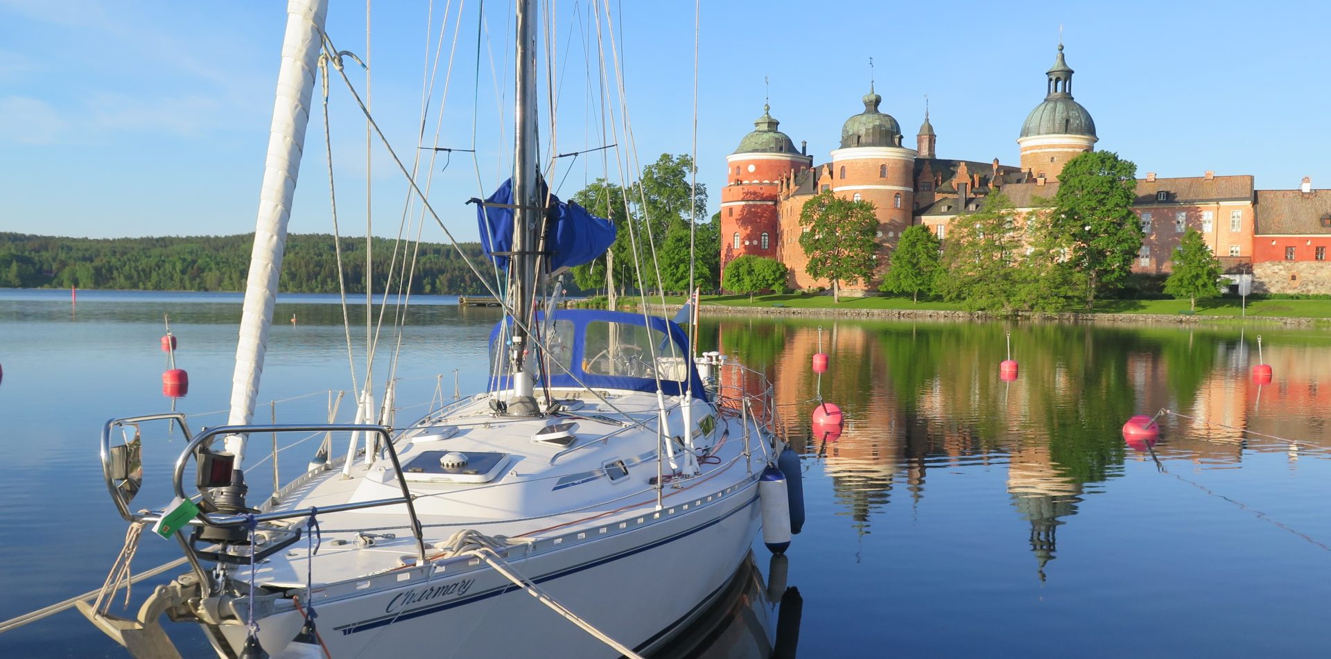
The wind that had been forecast for a while was due to come in the next 24 hours, so we decided to head to Trosa. We did this with a certain amount of trepidation on my part, not because of the trip, but because of Trosa itself. Sure we have been there before, but the one thing I remembered about it was that it was shallow. I am slightly paranoid about running aground, a character trait that is perhaps unusual in an East coast sailor where running aground can be part of the trip – often deliberately so. However, the Starlight, while only drawing 1.6m has a wing keel, so the usual strategies employed for getting off the putty, like heeling the boat, hanging off the end of the boom and jumping up and down (well maybe not …) don’t work because the wing on the base of the keel just digs in further. So heading into a harbour which is charted as 1.9m deep tends to induce the ‘shakes’ and a very hesitant hand on the throttle.
In most situations we sailors would then be carefully checking tide tables, working out adjusted depths and calculating our clearance at low water. The Baltic though doesn’t have tides, so there is no need to worry …. well … not quite. Although it doesn’t have tides, confusingly the water level does still go up and down – just water movement that isn’t related to the gravitational pull of the sun and the moon! The water level in the Baltic is generally far more affected by the weather; consistent high pressure will push the water level down whereas low pressure will allow the water level to rise. The level is also related to the rate at which the rivers which feed the Baltic Sea melt in the spring and the wind; strong winds will push water in front of them, raising the water in front and lowering it behind. Luckily for us, someone does all the required observations and calculations and that someone is the Swedish Meteorological and Hydrological Institute (the SMHI). They publish the Vattenstånd – the water level. On their website they publish water level observations and also forecasts. A check of these, following by a bit of head scratching and soul-searching and the trip to Trosa was on.
It was a fairly short trip – just 13 miles from Landsort to Trosa and we managed to sail around half of it, before the wind wheezed its last and the engine went on to maintain progress. Once at Trosa I very slowly turned round and gently nudged alongside the jetty watching the echo sounder far more closely than the jetty – alongside and 0.3m under the keel on the echo sounder – a result! The water would have to go down a whole foot before we grounded. Feeling smug with this position, we headed for the gasthamn office to pay where they promptly persuaded us to move. They gently explained that they like to keep the jetty for the larger powerboats (who draw less water!). I tried passive resistance, but then they employed the killer argument – alongside the jetty was more expensive. So, we moved to the stern buoys on the other side where they assured us there was plenty of water. There was plenty, but only if you drew less than 1.6m, so we nudged our way in and sat gently on the bottom! Ah well, at least the boat was quite stable. We just hoped that the Vattenstånd didn’t go down too much over the next couple of days or we might be outstaying our welcome at Trosa.
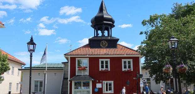
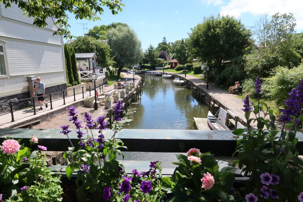
In the end we stayed a couple of days to let the weather pass. Trosa itself was nicely sheltered and we made the most of the time to explore the town. The walk into town is along the river and is a lovely walk past various historic buildings – many of them now cafes and restaurants.
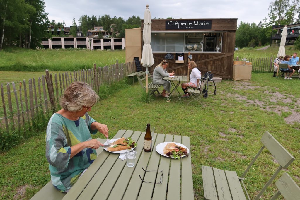
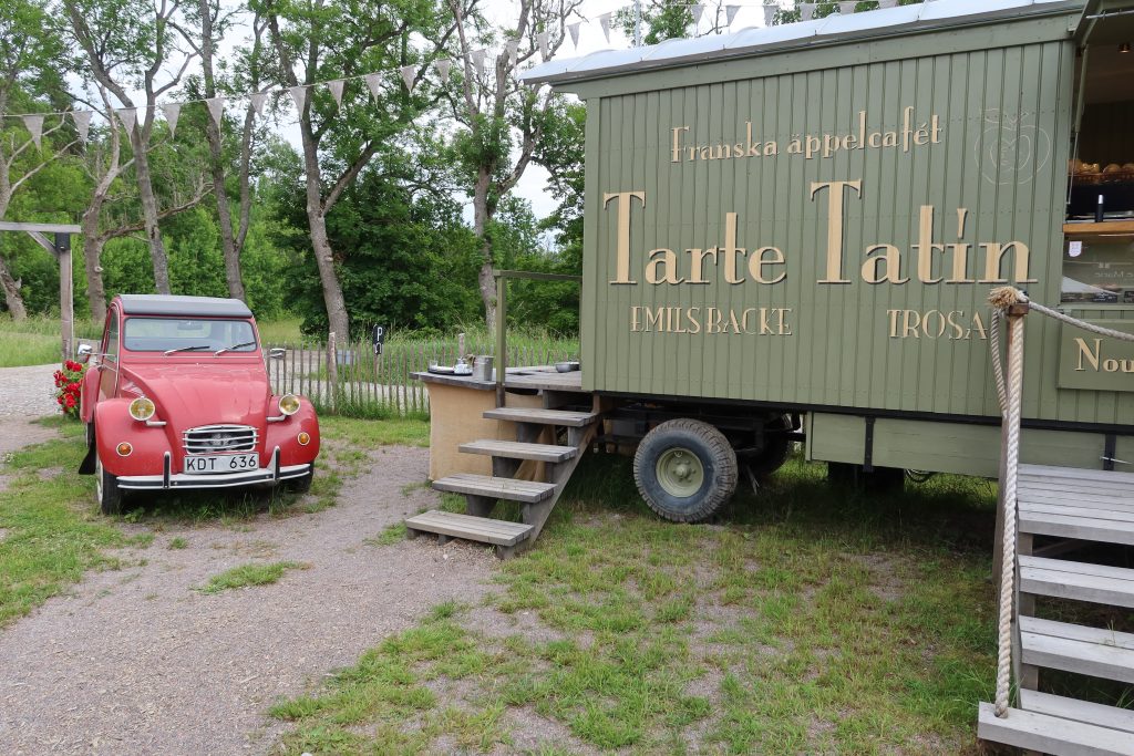
The town is quite compact, but well preserved and retaining a friendly feel about it. We spent some time following the town historic trail and feeling suitably ‘educated’ about Trosa we headed slightly out of town. We were on a mission to find a 2CV. We had spotted an advert in town for a cafe called Tarte Tatin about 2km out of town and beside the cafe was parked a 2CV. No more incentive was required and so we set off hunting for French food in Sweden. Tarte Tatin has an associated business – Creperie Marie – and they are parked either side of a field with tables. So, we sat ourselves half way between the two establishments and walked one way for some interesting crêpes with a Swedish twist (with wild boar and smoked salmon fillings) for the first course and walked the other way for apple pie for pudding.
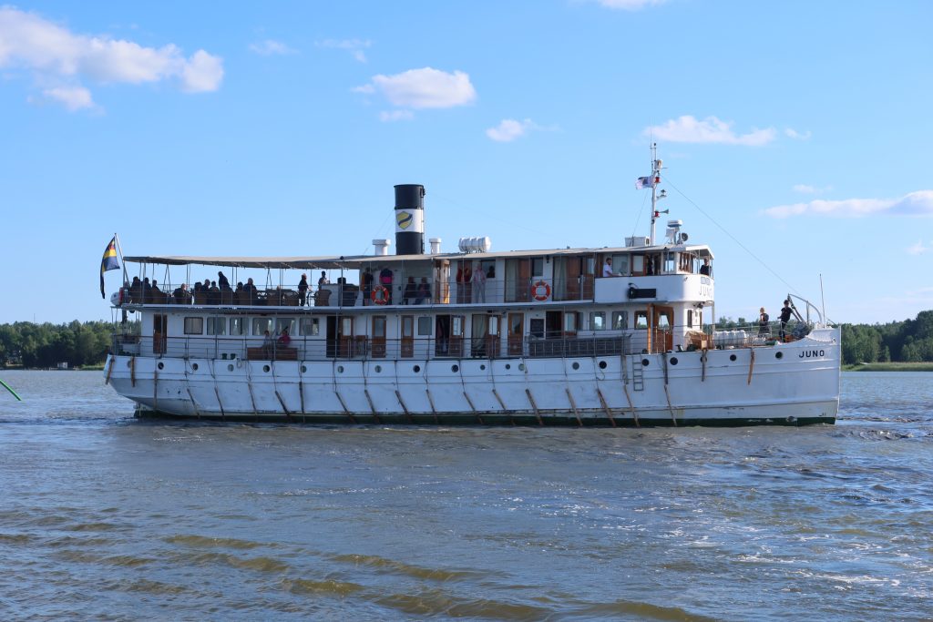
The next day we explored Trosa and its surrounds further – this time on bikes we hired from the marina office. We cycled right round the neighbouring island and found a very nice swimming spot off the rocks. The water has definitely warmed up, just in time for us to leave! Later in the afternoon we watched the departure of the Juno. The Juno is one of the traditional Gota Canal cruising boats and she is said to be the oldest registered cruising ship in the world. She was built in Motala and launched in 1874. She was apparently originally going to be called the Darwin, but after objections by certain shareholders, she was called the Juno after the goddess of marriage and motherhood – myth triumphed over science!
The Juno runs trips from Stockholm right across to Gothenburg taking 4 days and Trosa is one of the stops. The passengers get just a couple of hours ashore and then she heads off again. Her departure was much more entertaining for the spectators than the captain. He faced two issues – first of all the depth and secondly a strong wind pushing him onto the jetty. Both were overcome (eventually) with a lot of throttle. He started by springing off on a bowline – something he had to do twice and then maneuvered constantly backwards and forwards trying to turn against the wind. Every time he opened the throttle the boat heeled alarmingly and clouds of mud came welling up from the bottom, so perhaps he did us all a favour dredging that little bit of Trosa. Eventually he made it round to applause from the onlookers. A fun way to while away a hour or so …..
